Extended forecast: Wet season expected to eliminate drought conditions in Hawai‘i after getting off to a slow start
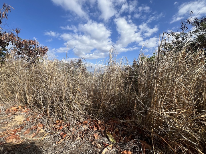
Looking at the extended weather forecast for Hawai’i, experts are predicting the wet season will see a slow start, but that should give way to above average rainfall in late 2024 and early 2025.
After a slow start to the wet season, which goes from October through April, the climate model consensus favors above average rainfall for the state from December through April, according to Kevin Kodama, senior service hydrologist with the National Weather Service.
During a Thursday press conference, Kodama said the National Oceanic and Atmospheric Administration’s Climate Prediction Center expects La Nina to emerge by the end of November, and those conditions are expected to persist until this spring.
“Conditions should improve,” Kodama said of the drought facing some parts of Maui. “Right now, the drought monitor has severe drought in leeward portions of Maui County. That could get a little worse before it gets better–we’ll have to see.”
With the drought on Maui, Kodama said residents should continue to take precautions and avoid situations in which they could ignite wildfires.
“It still pays to conserve water as much as possible–for sure if you’re on water-catchment systems, but even in areas such as Upcountry and then areas of West Maui where they depend more on surface-water sources,” he said. “It always pays to help the Department of Water Supply conserve and ensure that they have adequate water supplies at least for the next few months, and then if the wet season really kicks in in earnest, then things should improve in those areas.”
Kodama explained that stronger La Nina events can have a higher-than-normal trade wind frequency, which can often focus rainfall on the east-facing windward slopes, while weaker La Nina events can produce more weather systems that feature significant leeward rainfall.
Based on the extended outlook for the wet season in Hawai’i, the wet season favors a weak La Nina event. Still, forecasters expect drought conditions across the state to be “eliminated” by the end of the wet season, and probabilities suggest the state will experience above normal temperatures as well.
While it’s too early to say what this summer might bring, Kodama described increased rainfall as a double-edge sword, saying that enhanced rainfall can be a good thing, but it can also lead to more fuels for ignition when the area dries out again.
Recapping the dry season, which runs from May to September, Kodama said most areas experienced near to above-average rainfall even though the original forecast heading into the dry season called for below-average rainfall.
Kodama said the 2024 dry season started late due to an unusually wet May featuring the latest “Kona Low” in at least 20 years, and that led to the ninth wettest dry season in the last 30 years, based on rankings from eight key sites.
According to the National Weather System, Kona Lows originate from a kink in the jet stream that sinks south and pinches off, leaving behind a low-pressure circulation that is cut off from the main core of the jet. These cut-off lows can linger for several days and produce significant storms.
However, those wet conditions didn’t last.
“Once June rolled around, then the dryness really kicked in, and by late June we already had drought conditions reported across the state, and then the drought spread and intensified through July and into mid-August,” Kodama said. “So by early August, we had severe drought, which is DII on the U.S. Drought Monitor Map in all four counties across the state, and even extreme drought, which is the DIII category on the drought monitor, in the leeward areas of Haleakala and Maui.”
As a result of the drought, Kodama said there were significant agricultural and water impacts, and Hawai’i saw an increase in brush fire ignitions, especially in July.
By late August, Hurricane Hone brought a bit of relief to the area and eliminated the drought on Hawai’I Island, which received 20 to 30-plus inches of rain, and Hone eased the severe drought in portions of Maui County.
However, more dry conditions in Maui County, Kaua’i, and leeward O’ahu throughout September resulted in an expansion of the drought.
“Even now into October, we’re seeing drought starting to expand and intensify again,” Kodama said.
However, if the extended forecast holds true, the drought conditions could be over soon.
“Once December rolls around, and then continuing onward through April, I think conditions in terms of drought will improve,” Kodama said. “By the end of April, the drought should be eliminated, at least that’s what the probabilities favor right now.”
STAY AHEAD OF THE WEATHER
The following suggestions for the upcoming wet season come from the National Weather Service.
¯ Do not drive on roads with fast-flowing water. As little as 1 to 2 feet of fast-flowing water can sweep most vehicles off a road, and roads may also be severely undercut.
¯ Do not walk across flooded streams. If someone is hiking and gets stranded, they should wait for the water to recede. Stream levels in Hawai’i generally recede quickly.
¯ Expect more rainy weather impacts. This could lead to increased driving times, and possible detours or road closures due to flooding or landslides. Some outdoor activities may be postponed, canceled or adjusted.
¯ The wet season brings increased potential for lightning strikes, and residents should be prepared for power outages, especially when thunderstorms are forecast. People are advised to move indoors when they hear thunder or see a flash of lightning. Lightning strikes can occur even in areas where it is not raining.
¯ Although rare, thunderstorms occasionally produce damaging winds, large hail and tornadoes in Hawai’i.
¯ If you travel through a flood-prone area, identify alternate routes ahead of time.
¯ If you live in a flood-prone area, have an evacuation plan in case flood waters quickly threaten your home.
¯ Stay informed of conditions that could change rapidly, and keep an eye on the latest forecasts, watches, warnings and advisories via the media, NOAA Weather Radio, the Internet and weather mobile phone apps. Wireless Emergency Alerts on mobile phones notify you that you’re in a significant, life-threatening flash flood warning area.
MORE RESOURCES
For weather-related news and information, check out the following sources online.
¯ NOAA National Weather Service Honolulu HI–weather.gov/hfo/
¯ NOAA Climate Prediction Center–cpc.ncep.noaa.gov/
¯ NWS Multilingual Infographics–weather.gov/translate/infographics.html
¯ FEMA Flood Preparedness Information–ready.gov/floods
¯ Hawai’i Emergency Management Agency–dod.hawaii.gov/hiema/
¯ State of Hawai’i-DLNR National Flood Insurance Page–dlnreng.hawaii.gov/nfip/
¯ U.S. Drought Monitor–droughtmonitor.unl.edu/
Local News

Tulsi Gabbard resigns as director of national intelligence, citing her husband’s health

Farmers put ‘we’ over ‘me’ on way to states

County seeks public input on planned Lahaina community center, field house
Preschool tuition assistance program accepting applications for upcoming school year
Applications for Hawaii’s Preschool Open Doors program for the 2026-27 school year will open May 29, with state ...
Governor, emergency officials urge residents to prepare for hurricane season